Vrbnik hiking circuit


The Vrbnik Hiking Trail is a circular hiking path that takes us from the center of Vrbnik along part of the coastline of the eastern Vrbnik archipelago, offering beautiful views of the Vinodol Channel and the coastline, as well as the mountains of Gorski Kotar that dramatically descend into the blue sea. The trail also traverses the interior of the island of Krk, providing interesting far-reaching views of the gently hilly terrain of the island.
Useful Tips and Instructions:
Before you set off, check the weather forecast, wear sturdy sneakers or hiking boots, and dress according to the season (lighter clothing for summer, a cap or hat for sun protection, a jacket or thicker shirt during spring and autumn, and a windbreaker and raincoat in winter). Bring enough water, food if necessary, a knife, band-aids, a bandage, a watch, a mobile phone, sunglasses, and a camera.
Start your journey with company, follow the trail markers, and only use marked paths.
Please do not litter, do not light fires, do not destroy or jump over dry stone walls (gromače), carefully open and close all gates you encounter on the trail, do not pick grapes, figs, or protected plants, and do not disturb sheep or wild animals.
You hike these trails at your own risk.
Emergency phone number: 112 (Police, Firefighters, Emergency Medical Services, Croatian Mountain Rescue Service)
The Obzova Mountaineering Society operates in the area.
For more information, visit www.pd-obzova.hr, email contact@pd-obzova.hr.
From the center of Vrbnik, the Grohot street (remains of the church of St. Mavra from the 11th century) leads to the intersection at Pod Čerenec, where you turn left.
The paved road with beautiful views of the Vinodol Channel takes us to Potovošće Cove (swimming opportunity). At the end of the beach, we turn left, and the path leads above St. Juraj Cove (remains of the church of St. Juraj from the 12th century) toward Sršćica Cove (swimming opportunity) and to an area called Vinca (remains of the church of St. Nicholas from the 15th century, an ornithological reserve).
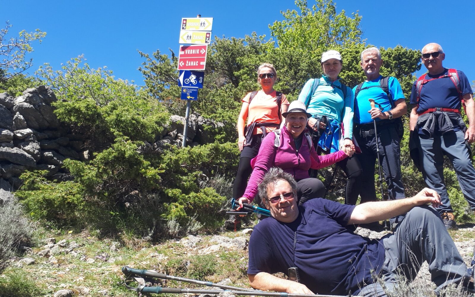
In the coastal area, there are a significant number of caves that have served as shelters for fishermen, boats, equipment, and food for centuries, as well as for pirates, outlaws, and thieves, especially during wartime. The path continues uphill along a steep rocky trail over Trnovica (a small pond) and enters a long stone canyon up to an elevation of 387 meters. Crossing the expansive plateaus of Navrhvala, Valnišća, and Podole, where numerous flocks of sheep graze in the summer, you reach M. Hlam, a crossroads for paths leading to Vrbnik, Žanac, and Mali Hlam, the highest peak in the Vrbnik area.
The steep path leads to M. Hlam (446 m), where a magnificent view opens not only of other parts of the island of Krk but also of the peaks of Velebit, Risnjak, Učka, the islands of Cres and Plavnik, all the way to Prvić, St. Grgur, and Rab. The easier descending section leads over Hlam (425 m) and Čičišća down to Lug (Vrbnik field) and exits at the intersection near the church of St. Nedija from 1445.
The road takes us right to the intersection at Pod Čerenec, and then we descend left on Grohot street back to the center of Vrbnik. Before reaching Čičišća, there is a wide path that leads all the way to Tohoraj and also descends into the center of Vrbnik. From the path, there is an unforgettable view of Vrbnik and the entire Vrbnik field.
8h